
1964 Satellite Photos show Ancient Ruins in the Middle East and Antarctica
ZoharStarGate TV - Mysteries - UFO - Paranormal - Space
•
10m
Recently declassified U.S. spy and weather satellite photographs taken above most areas of the world have been causing a stir amongst archaeologists. Amongst other findings the photos reveal long lost civilisations in the Near and Middle East, mysterious structures, holes in the ice and evidence of early ice shelf collapse in Antarctica. Using photos from the Corona Satellite Programme and other declassified satellite photos, researchers have identified thousands of ancient sites, some of which may well be structures made by previously unknown cultures or civilizations.
Up Next in ZoharStarGate TV - Mysteries - UFO - Paranormal - Space
-
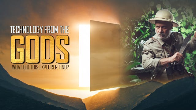
Ancient Mysterious Technologies Disco...
Nicholas Roerich was born in St. Petersburg, Russia, on October 9, 1874. When he was nine, a noted archeologist came to conduct explorations in the region and took young Roerich on his excavations of the local tumuli. The adventure of unveiling the mysteries of forgotten eras with his own hands s...
-
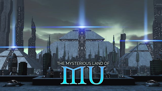
The Lost Pacific Continent of Advance...
According to Churchward, the lost Pacific continent of Mu "extended from somewhere north of Hawaii to the south as far as the Fijis and Easter Island." He claimed Mu was the site of the Garden of Eden and the home of 64,000,000 inhabitants known as the Naacals. Its civilization, which flourished ...
-
The Yamana Beach Skull – An Antarctic...
A woman’s skull -the oldest known human remains ever found in Antarctica- discovered lying on Yamana Beach at Cape Shirreff in Antarctica’s South Shetland Islands, has become one of the continent’s biggest mysteries. No surviving documents have ever been discovered to explaining how or why a youn...

2 Comments